Austra
539 VIEWS
Everipedia is now IQ.wiki - Join the IQ Brainlist and our Discord for early access to editing on the new platform and to participate in the beta testing.

Austra
Austra

 Aerial view from the east towards west, of Bindal municipality in Nordland county, Norway. | |
| Geography | |
|---|---|
| Location | Trøndelag and Nordland, Norway |
| Coordinates | 65°05′01″N 11°52′37″E [3] |
| Area | 88 km2(34 sq mi) |
| Length | 21 km (13 mi) |
| Width | 6.5 km (4.04 mi) |
| Coastline | 61 km (37.9 mi) |
| Highest elevation | 588 m (1,929 ft) |
| Highest point | Romsskåla |
| Administration | |
Norway | |
| Counties | Trøndelag and Nordland |
| Municipality | Nærøy, Leka, Bindal |
| Demographics | |
| Population | c. 300 (2001[1]) |
| Pop. density | 3.4 /km2(8.8 /sq mi) |
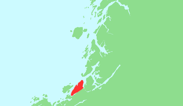
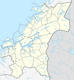
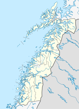
Austra is an island on the border between Trøndelag and Nordland counties in Norway. The 88-square-kilometre (34 sq mi) island is shared between the municipalities of Bindal, Leka, and Nærøy. The highest point is the 588-metre-tall (1,929 ft) Romsskåla. The village of Årset lies on the southeastern shore, along the Årsetfjorden. The village of Bogen lies on the east coast of the island where the bridge connects it to the mainland.[2]
 Aerial view from the east towards west, of Bindal municipality in Nordland county, Norway. | |
| Geography | |
|---|---|
| Location | Trøndelag and Nordland, Norway |
| Coordinates | 65°05′01″N 11°52′37″E [3] |
| Area | 88 km2(34 sq mi) |
| Length | 21 km (13 mi) |
| Width | 6.5 km (4.04 mi) |
| Coastline | 61 km (37.9 mi) |
| Highest elevation | 588 m (1,929 ft) |
| Highest point | Romsskåla |
| Administration | |
Norway | |
| Counties | Trøndelag and Nordland |
| Municipality | Nærøy, Leka, Bindal |
| Demographics | |
| Population | c. 300 (2001[1]) |
| Pop. density | 3.4 /km2(8.8 /sq mi) |
See also
List of islands of Norway
References
[2]
Citation Linksnl.noThorsnæs, Geir, ed. (2017-11-13). "Austra". Store norske leksikon (in Norwegian). Kunnskapsforlaget. Retrieved 2018-04-30.
Oct 1, 2019, 4:24 AM
[6]
Citation Linken.wikipedia.orgThe original version of this page is from Wikipedia, you can edit the page right here on Everipedia.Text is available under the Creative Commons Attribution-ShareAlike License.Additional terms may apply.See everipedia.org/everipedia-termsfor further details.Images/media credited individually (click the icon for details).
Oct 1, 2019, 4:24 AM


