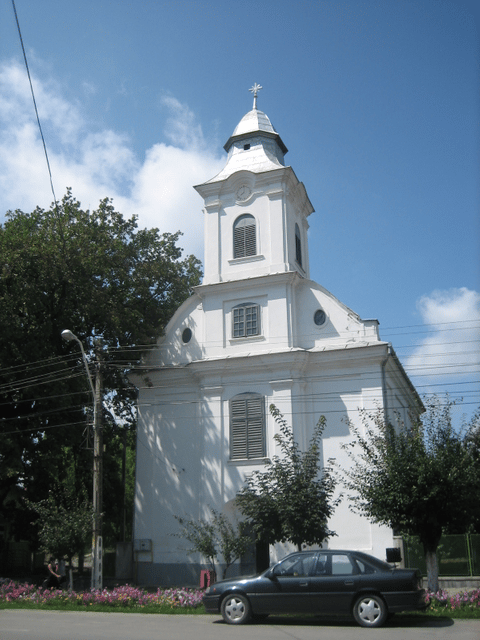
Ocna Mureș

Ocna Mureș
Ocna Mureș (Romanian pronunciation: [ˌokna ˈmureʃ]; Latin: Salinae, Hungarian: Marosújvár, German: Miereschhall) is a town in Alba County, Romania, located in the north-eastern corner of the county, near the Mureș River, with a population of 15,503 inhabitants as of 2002. The town is situated next to a large deposit of salt, mined in the past until the ceiling of the mines collapsed from water infiltration in 1978. Ocna Mureș has a chlorosodic products plant,a salt extraction plant and a spa which uses the salty water from the former mines.
The town administers five villages: Cisteiu de Mureș (Magyarcsesztve), Micoșlaca (Miklóslaka), Războieni-Cetate (Székelyföldvár), Uioara de Jos (until 1965 Ciunga; Csongva) and Uioara de Sus (Felsőmarosújvár).
The spa is no longer running. The chemical plant in town was lastly purchased by an Indian company from a company based in Timișoara. Currently the plant has ceased activity. The majority of high school students attend either Liceul Teoretic Petru Maior or the 'Chemistry School,' where many are trained to later work for the factory in town. Exceptional students progress onto University studies,generally in nearby Cluj-Napoca or Alba Iulia, the county capital. The downtown was relocated after the mine was flooded as the ground became unstable. Now this area is filled with more than 4 large, very deep lakes. The center of town is now at the base of a large hill, the 'Banța.'
Demographics
| Historical population | ||
|---|---|---|
| Year | Pop. | ±% |
| 1956 | 10,701 | — |
| 1966 | 12,126 | +13.3% |
| 1977 | 16,416 | +35.4% |
| 1992 | 16,256 | −1.0% |
| 2002 | 15,697 | −3.4% |
| 2011 | 12,377 | −21.2% |
| Source: Census data | ||
See also
Castra of Războieni-Cetate

