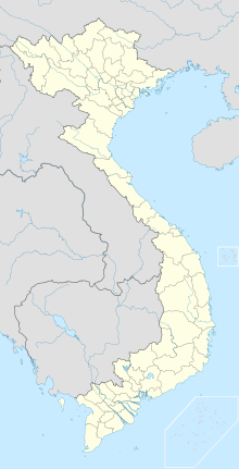
Nà Sản Airport

Nà Sản Airport

Nà Sản Airport Sân Bay Nà Sản | |||||||||||
|---|---|---|---|---|---|---|---|---|---|---|---|
| |||||||||||
| Summary | |||||||||||
| Airport type | Public | ||||||||||
| Operator | Northern Airports Services Company | ||||||||||
| Serves | Sơn La | ||||||||||
| Location | Mai Sơn, Sơn La Province, Vietnam | ||||||||||
| Elevation AMSL | 669 m / 2,195 ft | ||||||||||
| Coordinates | 21°12′53″N 104°02′07″E [7] | ||||||||||
| Map | |||||||||||
| Runways | |||||||||||
| |||||||||||
The Nà Sản Airport (IATA: SQH, ICAO: VVNS) (Vietnamese: Sân Bay Nà Sản) is an airport in Mai Sơn District, Sơn La Province, Vietnam. Currently, there are no scheduled services to Nà Sản.
Nà Sản Airport Sân Bay Nà Sản | |||||||||||
|---|---|---|---|---|---|---|---|---|---|---|---|
| |||||||||||
| Summary | |||||||||||
| Airport type | Public | ||||||||||
| Operator | Northern Airports Services Company | ||||||||||
| Serves | Sơn La | ||||||||||
| Location | Mai Sơn, Sơn La Province, Vietnam | ||||||||||
| Elevation AMSL | 669 m / 2,195 ft | ||||||||||
| Coordinates | 21°12′53″N 104°02′07″E [7] | ||||||||||
| Map | |||||||||||
| Runways | |||||||||||
| |||||||||||
History
First Indochina War (1946 – 1954)
Nà Sản Airport was built in 1950 by the French as part of their army outpost in Nà Sản. Initially, the airport had a short clay airstrip but it was then extended and paved with pierced steel planking to be able to handle larger planes like the Douglas DC-3. In October 1952, the outpost was fortified to create a hedgehog defense against the Viet Minh forces in what was to become the Battle of Nà Sản. After the battle ended in December 1952, the French retained control of the region. In August 1953, French forces withdrew from the outpost and Nà Sản Airport was abandoned afterward. [3]
Post First Indochina War (1954 – present)
Under the Democratic Republic of Vietnam authority, the airport resumed operations in 1958 when Air Vietnam started flying from Hanoi–Gia Lâm to Nà Sản and Điện Biên by Antonov An-2.[4] After the Reunification of Vietnam, the airport opened from 1994 until May 2004 when it was closed for "upgrades and maintenance". Since then, the airport has been disused. [5]
Usage
There are currently no scheduled services to Nà Sản as the airport is closed. In January 2015, an upgrade was proposed for the airport. According to the modified plan for 2020 with vision to 2030, the airport would become a mixed-use domestic airport capable of handling 900,000 passengers a year by 2020 and 1.5 million by 2030, its single runway would be extended to 2,600 m (8,500 ft). However, Nà Sản Airport was dropped from the modified planning of Vietnam's air transport development released in February 2018. This leaves Điện Biên Phủ Airport, 110 km (68 mi) west of Nà Sản, the sole airport of Vietnam's Northwest region while Nà Sản Airport's future remains unclear. [6]
See also
List of airports in Vietnam
